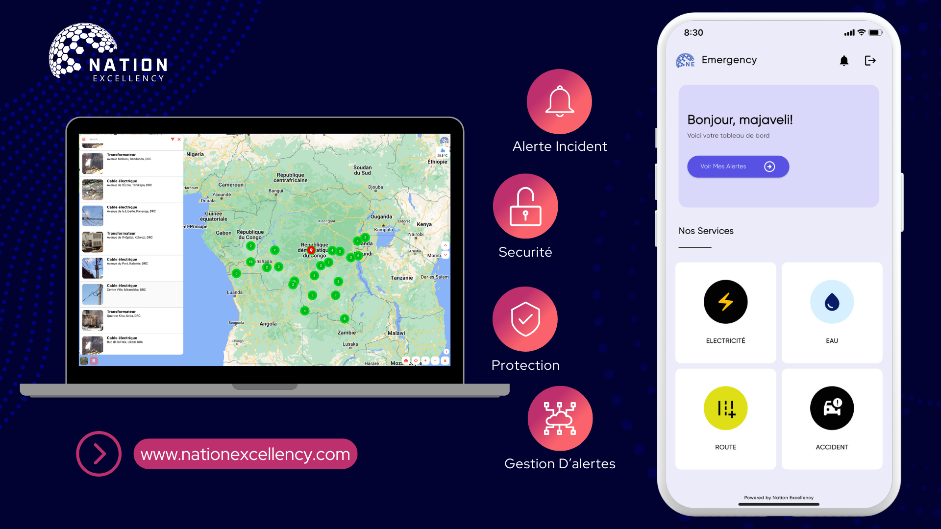
The proposed system will allow users to report incidents such as fires, power outages, and pole or transformer failures via a mobile application. When a user takes a photo of the incident, the app automatically captures the GPS coordinates and sends this information to an administrator dashboard.
This dashboard, accessible to the relevant authorities, displays the reported incidents in real-time on an interactive map, enabling quick localization of high-risk areas and facilitating the organization of interventions based on the severity and number of reports.
Get In Touch!
Don't hesitate to get in touch with us by sending us an email. We'll get back to you as soon as possible. We look forward to connecting with you!
Call Us
+1 (704) 605-9379
To Send Mail
